La Niña Set to Arrive in September: What Will It Mean for Our Climate?
Meteorologists anticipate the onset of La Niña in September, a recurring climate pattern known to disrupt weather worldwide. Experts are now examining its potential effects on regional climates, rainfall patterns, and temperature fluctuations in the coming months.
TL;DR
- La Niña likely to return by late 2025.
- Pacific cooling raises global weather anomaly risks.
- Climate change amplifies event intensity and unpredictability.
Signs Point to La Niña’s Return
After a period of relative calm across the equatorial Pacific, climate experts at the World Meteorological Organization (WMO) are raising concerns: the recurring weather pattern known as La Niña could reemerge as soon as this autumn. Recent analyses released on September 2, 2025, highlight an uptick in telltale signs over recent weeks, prompting forecasters to keep a vigilant eye on evolving conditions.
A Probable Shift in Ocean Temperatures
Since March 2025, the Pacific had maintained what meteorologists describe as a “neutral” phase—neither El Niño nor La Niña. That steady state now seems poised for disruption. According to seasonal models monitored by the WMO, there is currently a 55% chance that characteristic Pacific cooling will occur between September and November. That probability climbs to 60% for October through December.
The Far-Reaching Effects of La Niña
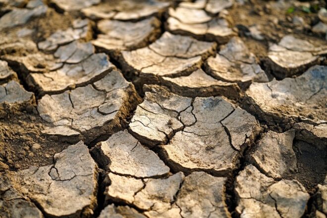
What’s at stake if La Niña does materialize? The phenomenon involves a marked drop in surface water temperatures across the central and eastern Pacific. This, in turn, triggers changes in tropical wind patterns, atmospheric pressure, and precipitation regimes. In plain terms, it’s not a local blip—its consequences ripple outward, impacting global climate systems. The WMO’s latest Info-Niño/Niña bulletin forecasts that even with cooler Pacific waters, many regions north and south of the equator are likely to experience above-average temperatures through autumn. Rainfall anomalies typical of moderate La Niña events are also expected.
To clarify how this may play out:
- Drier or wetter conditions depending on geography.
- Weather effects often opposite to those caused by El Niño.
Climate Change Complicates Forecasts
Perhaps most tellingly, these natural cycles—alternating between El Niño and La Niña—no longer unfold in isolation. The WMO stresses that these events now intersect with persistent anthropogenic (human-driven climate change). This broader context is pushing global temperatures ever higher and intensifying extreme weather worldwide. For scientists and observers alike, the coming months promise fresh challenges—and perhaps some surprises—as nature continues to rewrite familiar seasonal scripts.